We're updating our website! CrossWind Aviation is open and accepting new projects.

CrossWind Aviation Co.

CrossWind Aviation Co.CrossWind Aviation Co.CrossWind Aviation Co.

CrossWind Aviation Co.

CrossWind Aviation Co.CrossWind Aviation Co.CrossWind Aviation Co.
  • Home
  • About
    • About CrossWind
  • Services
    • UAS Mapping & Modeling
    • Aerial Inspections
    • Land & Aerial Imaging
    • Pilot & Ferry Support
  • Portfolio
    • Coming Soon
  • More
    • Home
    • About
      • About CrossWind
    • Services
      • UAS Mapping & Modeling
      • Aerial Inspections
      • Land & Aerial Imaging
      • Pilot & Ferry Support
    • Portfolio
      • Coming Soon
Meet Your Pilot
  • Home
  • About
    • About CrossWind
  • Services
    • UAS Mapping & Modeling
    • Aerial Inspections
    • Land & Aerial Imaging
    • Pilot & Ferry Support
  • Portfolio
    • Coming Soon
Meet Your Pilot

Aerial Services With Integrity. Results With Purpose.

Aerial Services With Integrity. Results With Purpose.Aerial Services With Integrity. Results With Purpose.Aerial Services With Integrity. Results With Purpose.

Professional aerial photography, mapping, inspections, and aviation services.

FAA-Certified • Insured 

Request a Project Quote
View Services
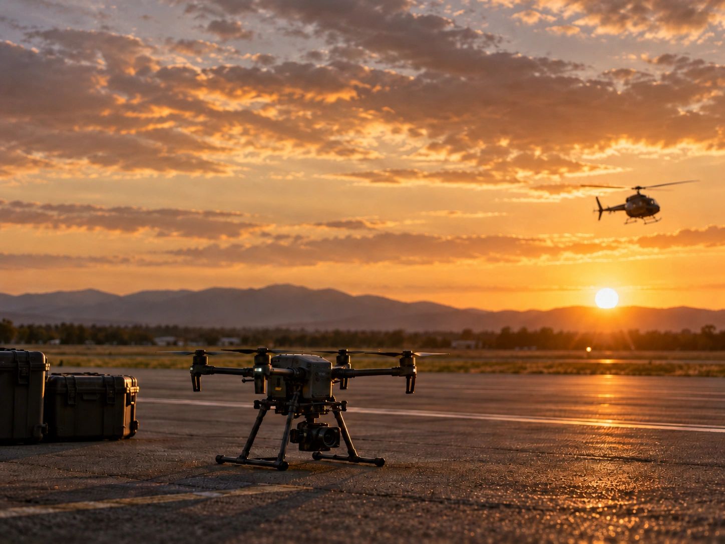
Drone and helicopter at sunset on a runway.

OUR SERVICES

UAS Mapping & Modeling

UAS Mapping & Modeling

UAS Mapping & Modeling

Engineer controlling drone at construction site.

Aerial mapping services provide orthomosaics, 3D models, and terrain products for construction progress documentation and site planning, utilizing advanced drone services and pilot services.

Land & Aerial Imaging

UAS Mapping & Modeling

UAS Mapping & Modeling

A large countryside estate with pond, trees, and sunset.

We offer professional drone services specializing in aerial photography and aerial mapping for properties, landowners, and agriculture, as well as providing construction progress documentation and pilot services for real estate projects.

Aerial Inspections

Pilot & Ferry Support

Pilot & Ferry Support

Drone inspecting solar panels on a rooftop.

High-resolution imagery captured through aerial photography for roofs, infrastructure, solar assets, and construction sites, including areas that are hard to reach, is made possible by our drone services and pilot services.

Pilot & Ferry Support

Pilot & Ferry Support

Pilot & Ferry Support

Female pilot flying helicopter over scenic mountains and water.

Commercial helicopter pilot services are essential for supporting aerial mapping, aerial photography, and overseeing construction progress, as well as for qualifying contract, SIC, ferry, and repositioning missions.

WHY CROSSWIND

Faith-rooted. Safety-focused. Built for the mission. 

CrossWind Aviation Co. combines professional UAS services, aviation experience, and field operations with a commitment to integrity, precision, and dependable service. 

Every project and mission is approached with careful planning, honest communication, and professional execution. 
HAVE A PROJECT OR AVIATION NEED?

Attach Files
Attachments (0)

This site is protected by reCAPTCHA and the Google Privacy Policy and Terms of Service apply.

Share the details about your project, such as your mission, timeline, or specific aircraft support needs, including any requirements for aerial mapping, aerial photography, or drone services. The more information you provide, the better CrossWind Aviation Co. can assist you and discuss next steps for pilot services or construction progress.

CrossWind Aviation Co.

Phone: 701-335-3499 Email: nicole@crosswindaviationco.com

Availability

Available by appointment and project needs 

Copyright © 2026 CrossWind Aviation Co. - All Rights Reserved.


Powered by

This website uses cookies.

We use cookies to analyze website traffic and optimize your website experience. By accepting our use of cookies, your data will be aggregated with all other user data.

Accept